Elevation in the Las Vegas Valley and Home Choice

Published On: May 2, 2022 Posted by: admin
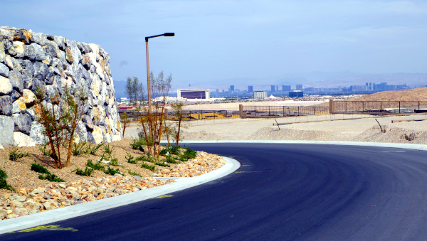
There are considerable differences in elevation, sq. ft. above sea level, at different locations inside the valley. The highest area for residential construction is in Summerlin, west of the I215 beltway and north of Charleston. It tops out at around 3,560 ft. above sea level. The lowest would be surrounding the lake at Lake Las Vegas at probably around 1,450 ft. That is a 2,110 ft. difference.
Elevation is not everything with respect to temperature and climate excepting that all the above locations are in the Mojave Desert. Here, elevation means a lot. As far as the topography of the area, the valley drains from west to east into the Colorado River. The Strip and airport area are at about 2,100 ft. As a rule of thumb, everything to the east of The Strip would be at a lower elevation and west of The Strip higher than 2,100 ft. South into the foothills of the Black Mt. area, in Henderson, the elevation climbs. Residential construction tops out at around 3,000 ft. Also, out towards Kyle Canyon Rd, off the I95 elevations climbs to around 2,750 ft.
My home is at around 2,800 ft. If I leave in the summertime, and go to say Stallion Mt., on the east side or to Lake Las Vegas, the difference is very apparent. One other consideration is that on the west side (Summerlin), in the foothills of the Spring Mountains, you go into the shade much earlier in the evening than in other areas inside the valley.


